About Alpine Geospatial
Alpine Geospatial delivers precision aerial imaging, advanced mapping, and data‑driven insights for Colorado’s most demanding industries. Leveraging state‑of‑the‑art drones, photogrammetry, and modern GIS workflows, we turn raw aerial data into clear, actionable products that help our clients make smarter decisions and showcase their assets with stunning visual fidelity.
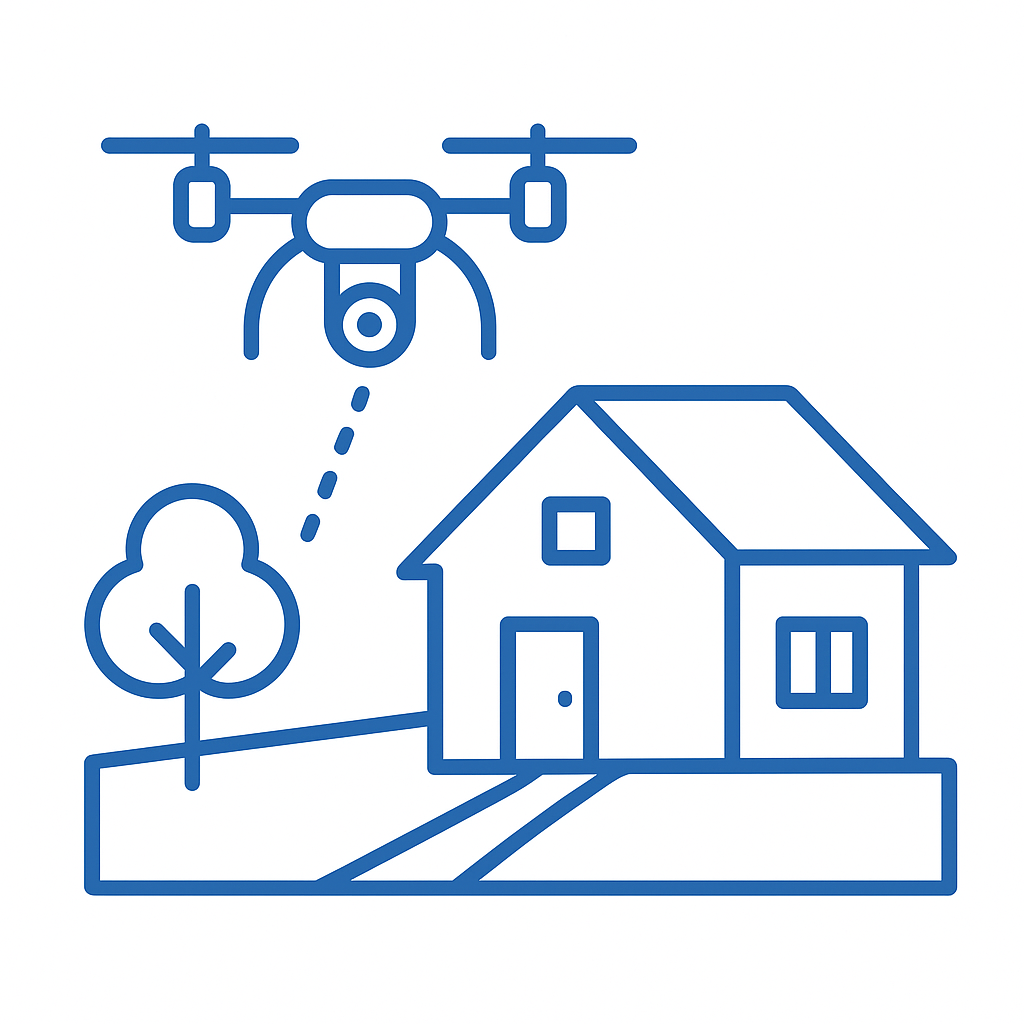
Real Estate Imaging & Marketing
We provide stunning aerial photography, videography, and 3D tours that showcase properties at their best. Our high‑resolution visuals help realtors, developers, and property managers attract buyers and stand out in Colorado’s competitive mountain markets.
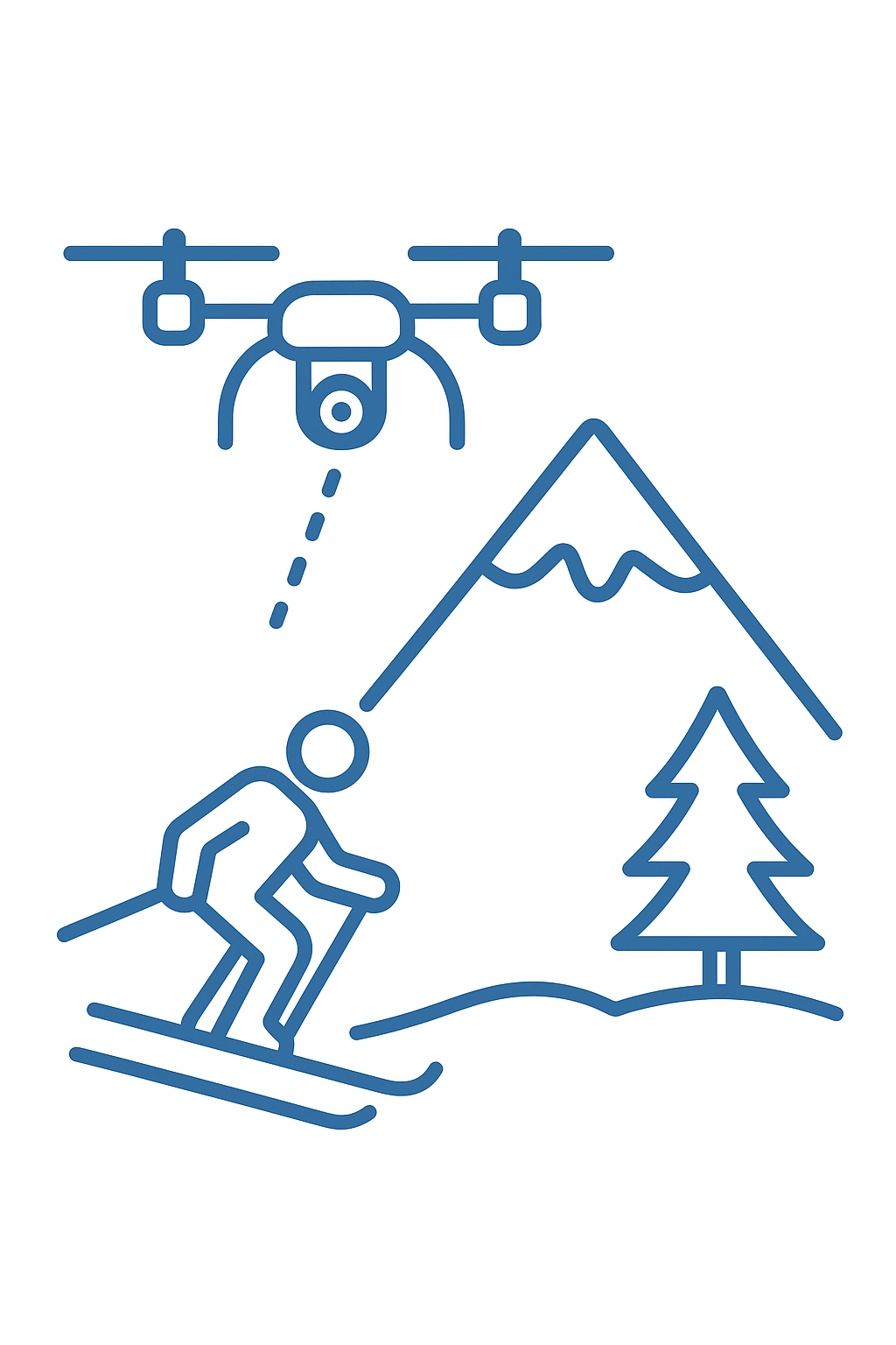
Ski Industry Solutions
From aerial mapping of terrain to high‑quality visuals for marketing and guest engagement, we support ski resorts with tools that improve operations and elevate the on‑mountain experience. Our mapping services also aid in snowmaking design, trail planning, and slope management — giving resorts precise data to keep their mountains running smoothly.
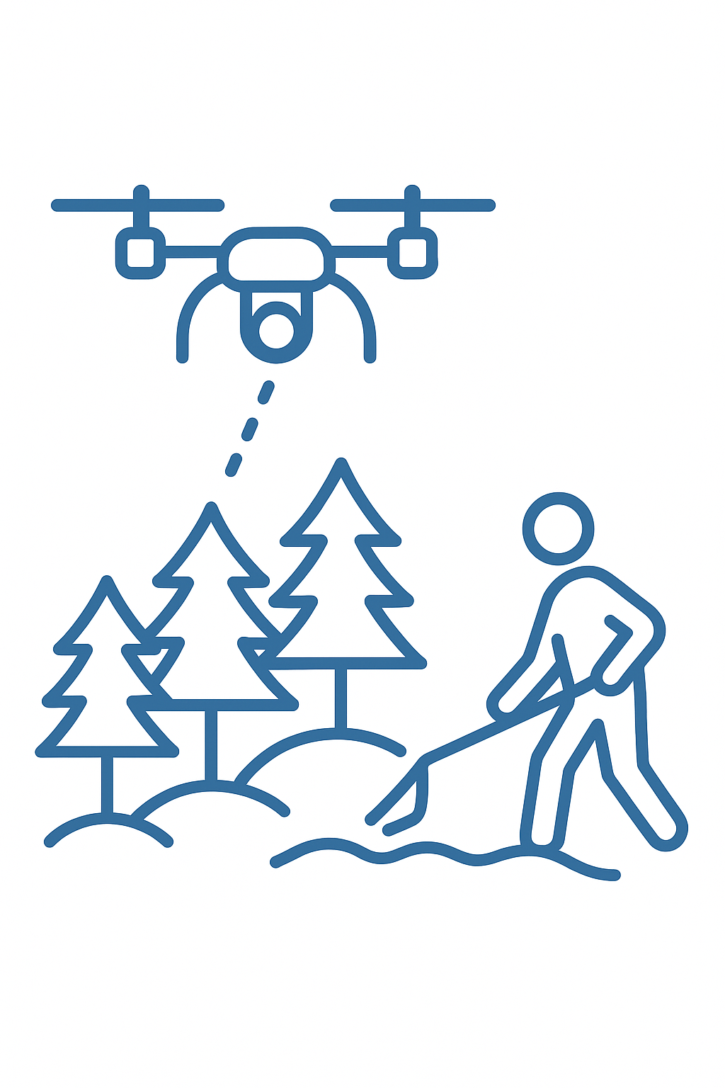
Forestry & Land Management
Our geospatial services assist land managers in monitoring forests, tracking change over time, and supporting sustainable decision‑making. Using drones and GIS, we deliver actionable insights to help protect and manage Colorado’s vital natural resources.
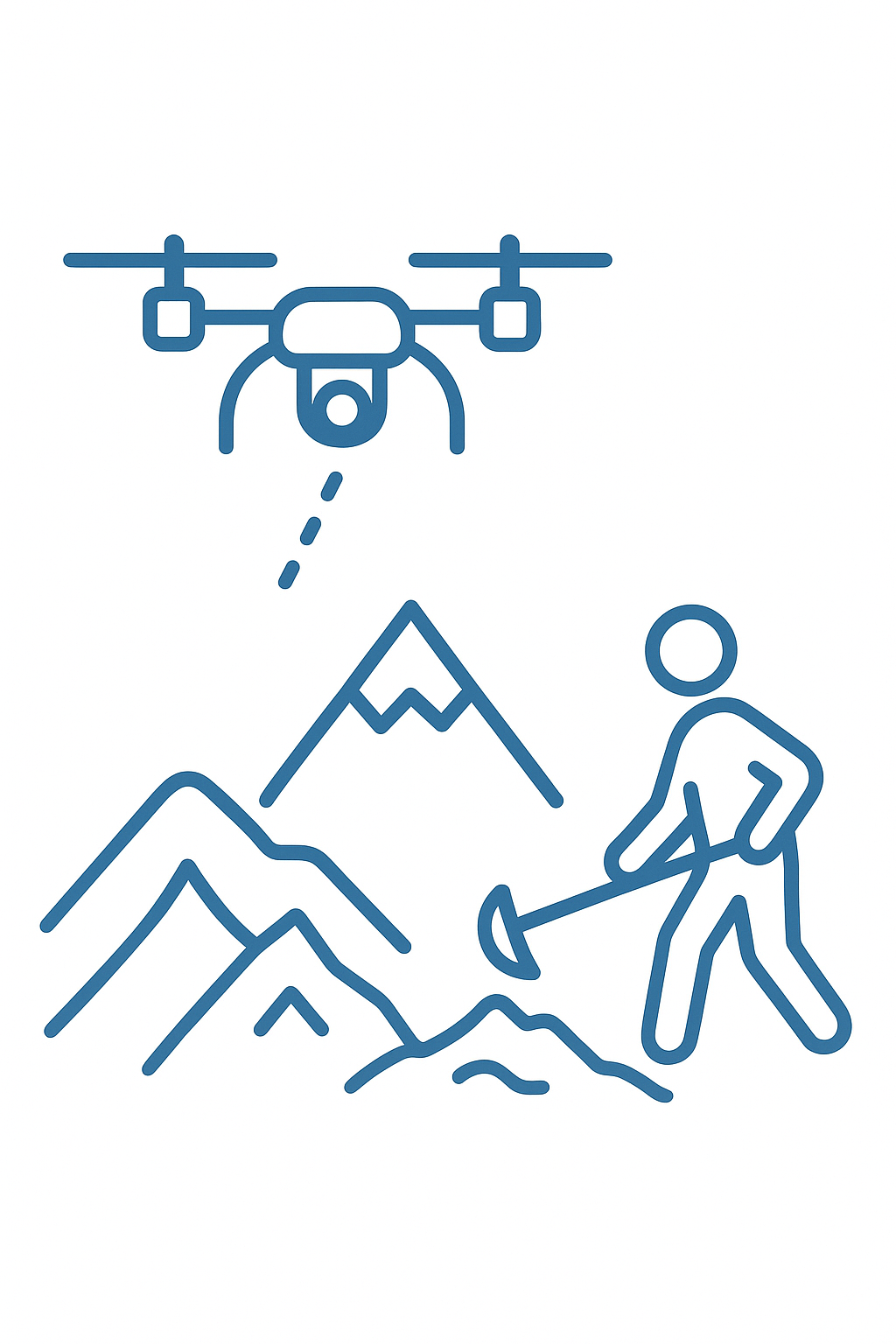
Mining Research & Resource Exploration
We are exploring innovative applications of drone technology and GIS in mineral exploration and mining research. Beyond modern site mapping, we dig into historical records and overlay them with today’s data — helping evaluate old claims, document past workings, and identify new opportunities with a fresh perspective.
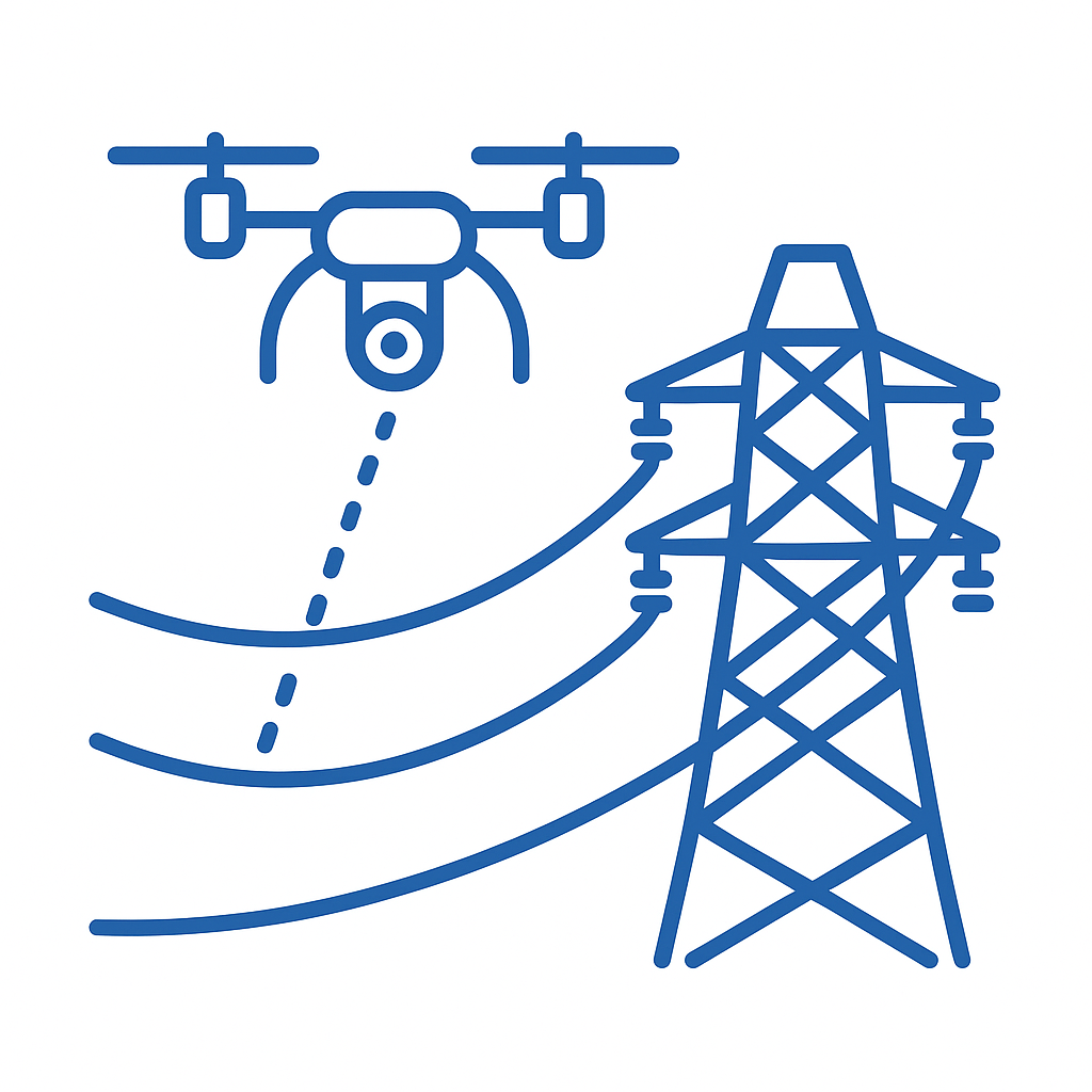
Infrastructure Inspection
Our infrastructure inspection services leverage advanced GIS tools and drone technology to provide thorough, accurate assessments of structures such as bridges, towers, and utility lines. By capturing high‑resolution imagery and detailed data, we help identify potential issues, monitor asset conditions, and ensure safety, all while reducing downtime and minimizing the need for manual inspections.